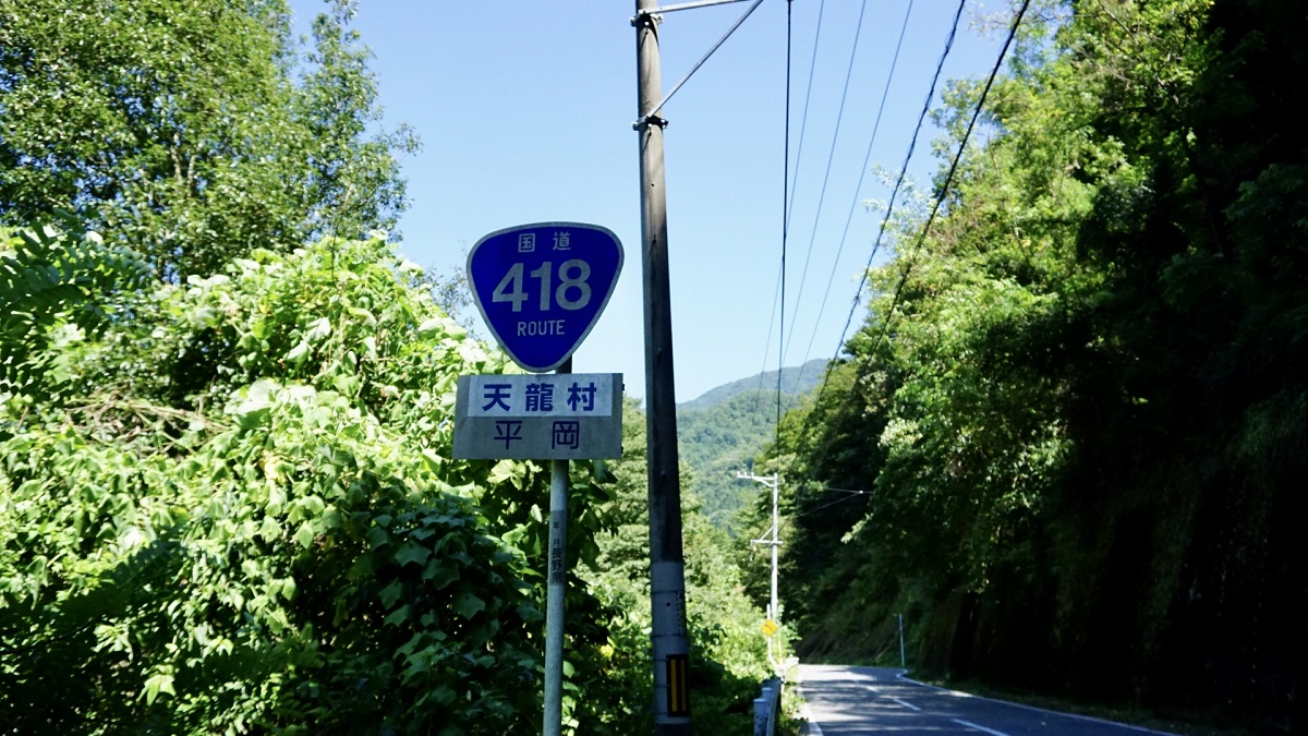
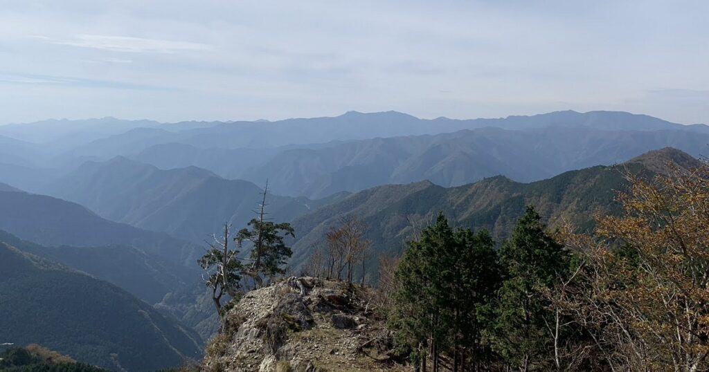
National Route 418 runs from Ono City, Fukui Prefecture through southern Gifu Prefecture to Iida City, Nagano Prefecture.
It reigns as one of Japan’s three worst roads (the other two are National Route 425 and National Route 439).
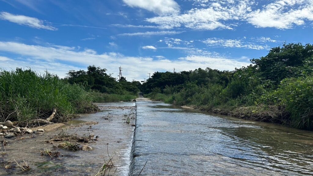
It appears that some sections will be closed for several decades.
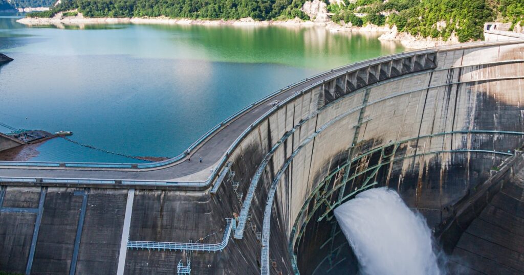
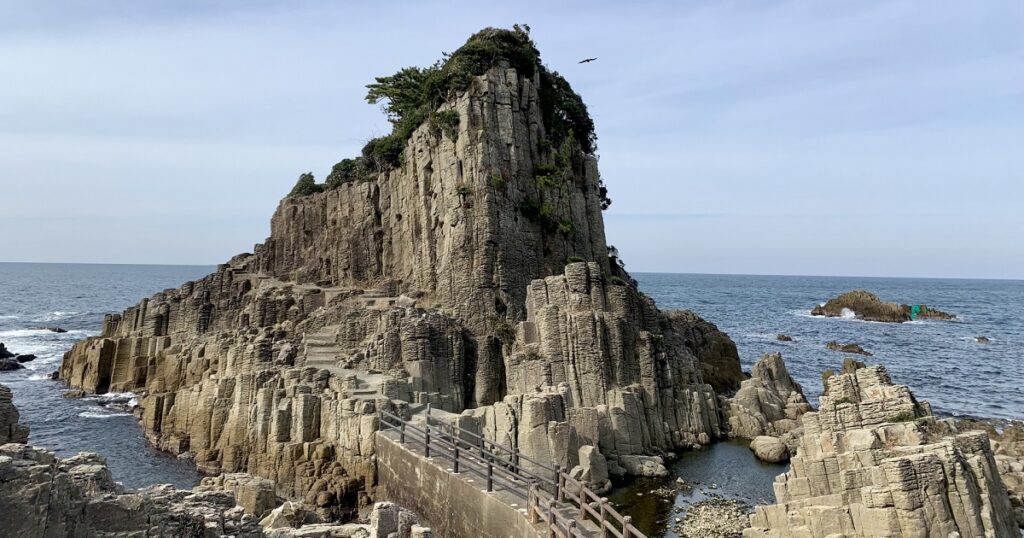
The road along Fukazawa Gorge, where the Kiso River flows, from Gifu Prefectural Route 353 Shinohara Yaotsu Line branch to near Kasagi Dam, Kasagi Town, Ena City, has been impassable for a long time and the road is in disrepair, although it has been designated as a national highway.
The road above is in a state of disrepair.
Souce:Wikipedia
In the video, we trace sections that are closed, and when there are two routes for the same section on the map (perhaps an old road?), we trace the route that looks more rugged.
I think it would take a lot of effort to actually run the route, but please take your time and enjoy the video.
Route map
It overlaps with National Route 157 from Ono City to Motosu City, Gifu Prefecture.
The road along Fukazawa Gorge from the aforementioned Gifu Prefectural Route 353 Shinohara Yaotsu Line Branch”tonear Kasagi Dam, Kasagi-cho, Ena City” is virtually abandoned.


岩手-1-1024x576.jpg)

Comments