National Route 229 is a wonderful touring spot where you can enjoy Hokkaido’s natural beauty.
This national highway is a general national highway that runs from Otaru City, Hokkaido, via Shakotan Town, Shakotan District, to Esashi Town, Hiyama District, and passes along the Sea of Japan coast.
Its charm is known as a scenic route that takes you around the beautiful coastline of the Shakotan Peninsula.
Overview and characteristics of National Route 229
The Shakotan Peninsula is one of Hokkaido’s most striking natural beauty spots.
One of the best ways to enjoy its beauty is to drive along National Route 229.
This national highway is a general national highway that runs from Otaru City, Hokkaido, via Shakotan Town, Shakotan District, to Esashi Town, Hiyama District, and passes along the Sea of Japan coast.
In particular, the roads that go around the coastline of the Shakotan Peninsula have different nicknames, such as “the Kabuto Line” from Iwanai to Shakotan, and “the Setakamuy Line” from Shakotan to Yoichi.
Fighting wave erosion
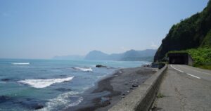
National Route 229 is a historical road that has faced erosion from waves as it goes around the Shakotan Peninsula.
In the past, there was a unique section of the road that was not found on other national highways, passing through sea caves and connecting through tunnels.
However, due to disaster recovery efforts and the construction of new tunnels, a safe and comfortable drive is now available.
Kamui Misaki
From the high ground of Cape Kamui, the undulating scenery of Cape Kamui such as “Kamui Rock” spreads out to the left, and the rock mass “Mizunashi no Tateiwa” and Ishikari Bay are on the right, and across the bay is Shokanbetsu. You can see the Ishikari mountain massif including Mt.
In particular, the tip of the cape is a sheer cliff, and the 41-meter-tall reef “Kamui Rock” towers 400 meters offshore.
From the tip of the promenade at Cape Kamui, you can enjoy a 300-degree view of the surrounding area, with the horizon in particular appearing rounded and its beauty remaining in your heart.
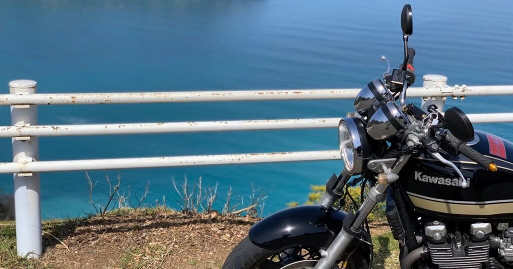
The Shakotan Peninsula is designated as the only underwater park in Hokkaido, and the beauty of its sea is sometimes described as “shakotan blue“.
Additionally, the area around Cape Kamui is a treasure trove of precious flora and fauna, with Ezo daylilies blooming profusely in summer, and wild animals such as Steller’s Sea Eagle and White-tailed Eagle in winter.
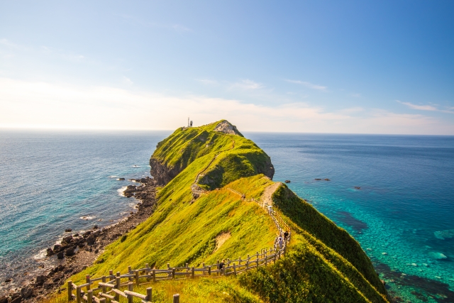

Cape Kamui Observation Deck
■Location
Kamimisaki-cho, Shakotan-cho, Shakotan-gun, Hokkaido(MAP)
■Business hours
8:00~18:30
■Website
https://www.kanko-shakotan.jp/
Cape Kamui activities
You can take a cruise on a sightseeing boat at Cape Kamui.
You can enjoy the spectacular view of Cape Kamui from the sea on this approximately 50-minute course.
Shakotan Kamui Cruise
■Location
Kamimisaki-cho, Shakotan-cho, Shakotan-gun, Hokkaido(MAP)
■Business hours
9:00~18:00
■Website
https://www.kanko-shakotan.jp/
Basic information on National Route 229 (Shakotan Peninsula)
| Info | National Route 229 (Shakotan Peninsula) ■Location Hokkaido Iwanai – Shakotan – Yoichi ■Fees free |
| Map |
Restaurant search/reservation
Have a great trip with delicious food!
Touring map other areas
Touring JP Recommended articles
Summary
National Route 229 is a place worth visiting as a touring course where you can enjoy the charms of Hokkaido to the fullest.
The combination of National Route 229 and the Shakotan Peninsula offers a wonderful way to explore Hokkaido’s nature and history.
Visit this beautiful region, enjoy a drive along National Route 229, and discover the charm of the Shakotan Peninsula.




Comments