
Nukabira National Highway is a hidden gem in Hokkaido’s beautiful natural environment and adventure setting.
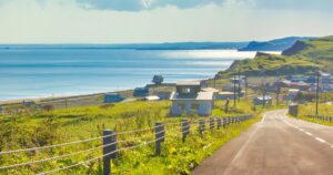
This road is part of National Route 273, and connects the Daisetsuzan Mountain Range and the Nukabira Source Village on the shore of Lake Nukabira.
Due to its beauty and natural magnificence, it is popularly known as the “Nukabira National Highway”.
As an invitation to take a trip to enjoy the view from the rooftops of Hokkaido, let’s explore the charm of Nukabira National Highway.
Overview of “Nukabira National Highway”
Nukabira National Highway is part of National Route 273 (total length approximately 235 km) that connects Obihiro City, Hokkaido to Monbetsu City.
It is a beautiful section that connects the Daisetsuzan Mountain Range and the Nukabira source village on the shore of Lake Nukabira, and is commonly known as the “Nukabira National Highway”.
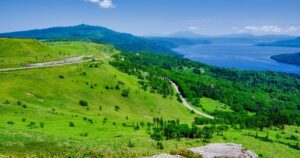
The Daisetsuzan Mountain Range is a series of 2,000m-class mountains and is so beautiful that it is called the roof of Hokkaido.
This area has been designated as Japan’s largest national park, Daisetsuzan National Park, in order to preserve its pristine mountain environment, and has long been revered as the “Garden of the Gods”.
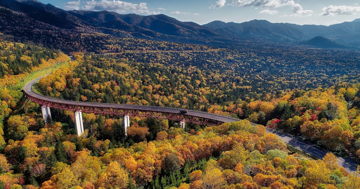
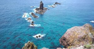
Nukabira National Highway is a perfect place to enjoy the beauty of nature to the fullest.
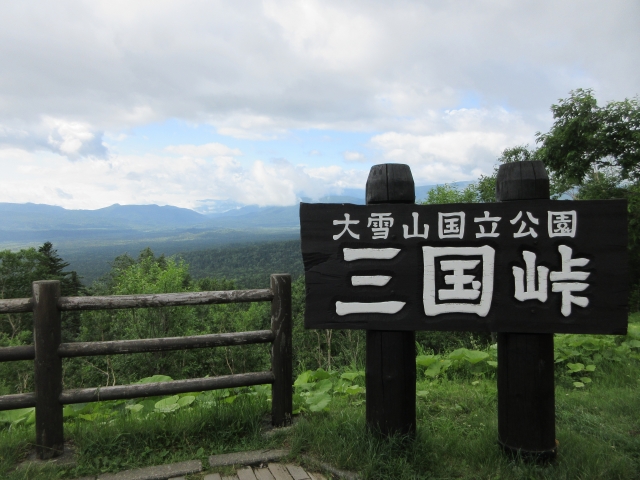
In particular, Matsumi Ohashi Bridge and Mikuni Pass Observation Deck shine with their charm.
Basic information about “Nukabira National Highway”
| Info | Nukabira National Highway ■Location Kamishihoro Town, Kato District, Hokkaido – Kamikawa Town, Kamikawa District, Hokkaido |
| Map |


Restaurant search/reservation

Surrounding touring spots

Comments